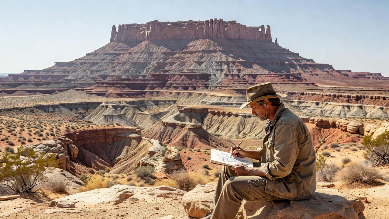
Start with the silhouette
A mesa commonly has a relatively flat top and steep sides, reflecting the erosion of broadly horizontal rock layers. From a distant, permitted viewpoint, sketch its outline without adding geological labels. Mark ledges, recesses, sloping intervals and loose debris. If the same step appears around several sides, you may be seeing the influence of a laterally extensive resistant bed rather than a random surface irregularity.
Differential erosion means that materials are removed at different rates. Resistance depends on more than rock name: cement, grain arrangement, mineral composition, bedding and fractures all matter. A well-cemented sandstone may support a cliff while an adjacent mud-rich interval forms a slope. In another setting, different properties can produce a different profile. Always let the observed relationships lead the explanation.
What caprock does—and does not do
Caprock is a relatively resistant layer that helps protect less resistant material below it. It may be sedimentary rock or, in some landscapes, a volcanic unit. The term describes its role in the landform rather than one particular composition. A strong upper ledge can shelter a softer interval, but it is not permanent armor. Water still enters joints, and undermining can leave blocks unsupported.
Loose angular fragments at the base of a cliff form talus. Their distribution may show where blocks are supplied from above, though fragments can later move or be buried. Rounded material may have a different transport history, but shape alone is not enough to reconstruct the whole journey. Observe safely from established routes; the foot of an apparently quiet cliff is still a rockfall exposure.
Follow the fractures
Joints are fractures along which there has been little or no visible displacement parallel to the fracture surface. They differ from faults, which involve displacement. Both can influence erosion. In a cliff, intersecting joints divide rock into blocks and provide access for water and weathering. Their spacing helps determine whether a face breaks into broad slabs, narrow fins or smaller fragments.
At Arches National Park, the arrangement of sandstone, joints and weathering helps explain fins and arches. At Bryce Canyon National Park, contrasting beds and weathering contribute to a very different assemblage of spires and slopes. Similar-looking silhouettes do not prove identical processes or rock types. Use local geological maps and park explanations before applying the story of one landmark to another.
Plateau, mesa and butte
A plateau is an extensive elevated area, often with a comparatively level surface. A mesa is a more isolated, flat-topped landform, while a butte is generally narrower relative to its height. These are useful descriptive terms, not globally fixed size categories. A feature’s local name may also reflect historical usage rather than a strict measurement. Describe proportions if the label is uncertain.
- Broad upland. Drainages dissect an elevated landscape along varied routes.
- Separated remnant. Retreating margins leave an isolated flat-topped mass.
- Narrower remnant. Continued removal can reduce the summit area and expose a butte-like form.
This simplified sequence does not mean every plateau becomes a mesa and every mesa becomes a butte on a predictable schedule. Changing drainage, regional deformation and variation in rock strength can interrupt or redirect development. Nearby remnants may have different histories. Do not treat the space between two landforms as a reliable clock without independent evidence.
Read a landscape without flattening its context
Monument Valley, within the Navajo Nation, is a powerful place to compare isolated rock masses and the continuity of layered rocks. It is also a living cultural landscape, not an empty geological display. Follow Navajo Nation access rules, use authorized services where required and respect restrictions on photography and travel. Geology is only one way of understanding a place.
For a field photograph, seek a viewpoint that separates the summit, cliff band and lower slope. Side light can clarify the transition from ledge to talus; softer light may make matching beds easier to follow between distant remnants. Include enough surroundings to show isolation. Then write a caption that distinguishes an observed profile from a proposed history of erosion.